DCI 102 // open data
Prof. Mackenzie Brooks
November 15, 2018
open data
what is open data?
Open means anyone can freely access, use, modify, and share for any purpose (subject, at most, to requirements that preserve provenance and openness).
why open data
- Interoperability
- Transparency
- Assessment
- Reproducibility
- Government
- Civic participation
- Funding requirements
- More/better knowledge
Code for America
http://www.codeforamerica.org

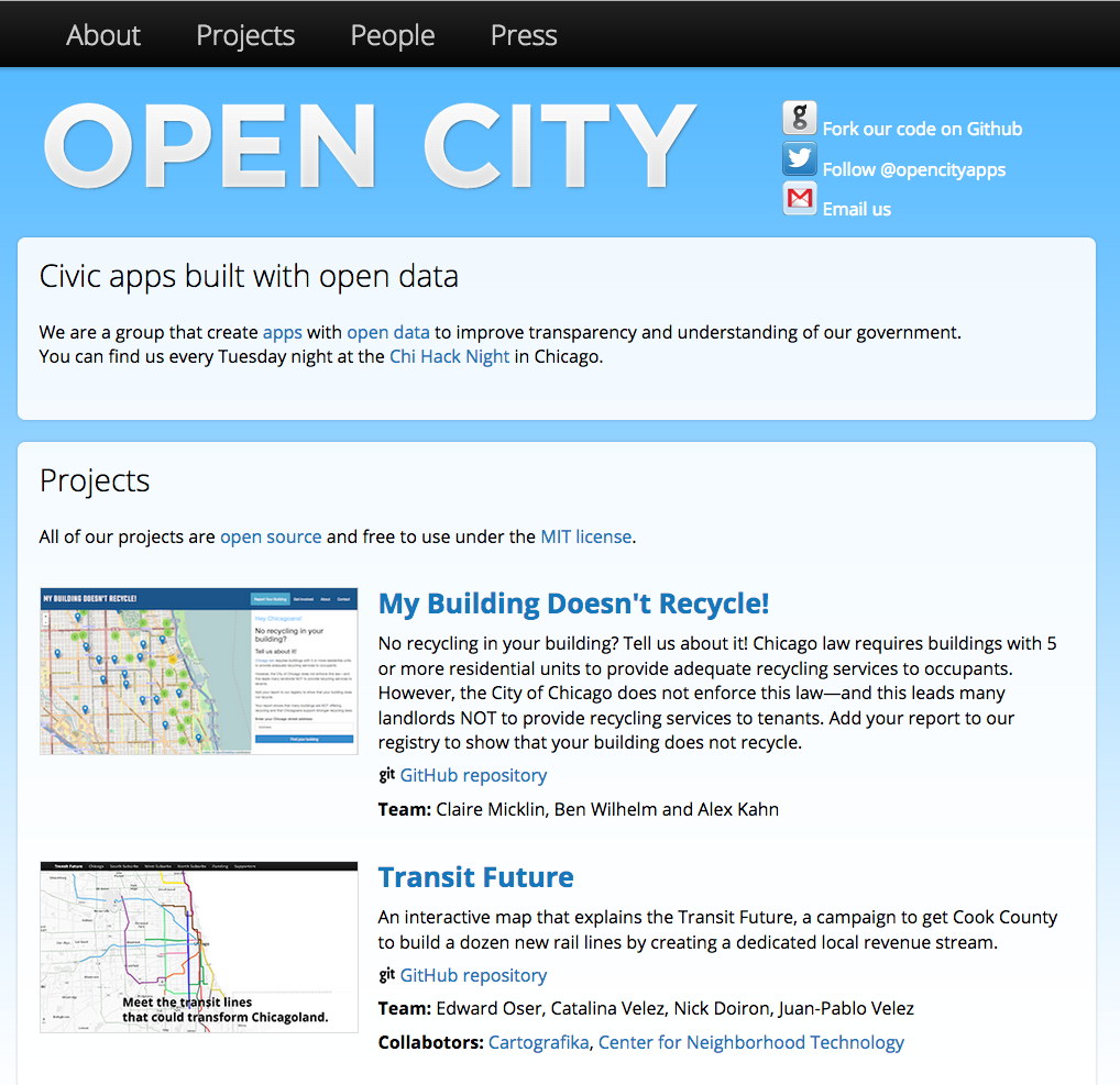
Open City Apps
http://opencityapps.org/
Endangered Data Week
https://endangereddataweek.org
Our public data will not be saved through a one-time mass backup, nor by distributed and uncoordinated, small acts of heroism.
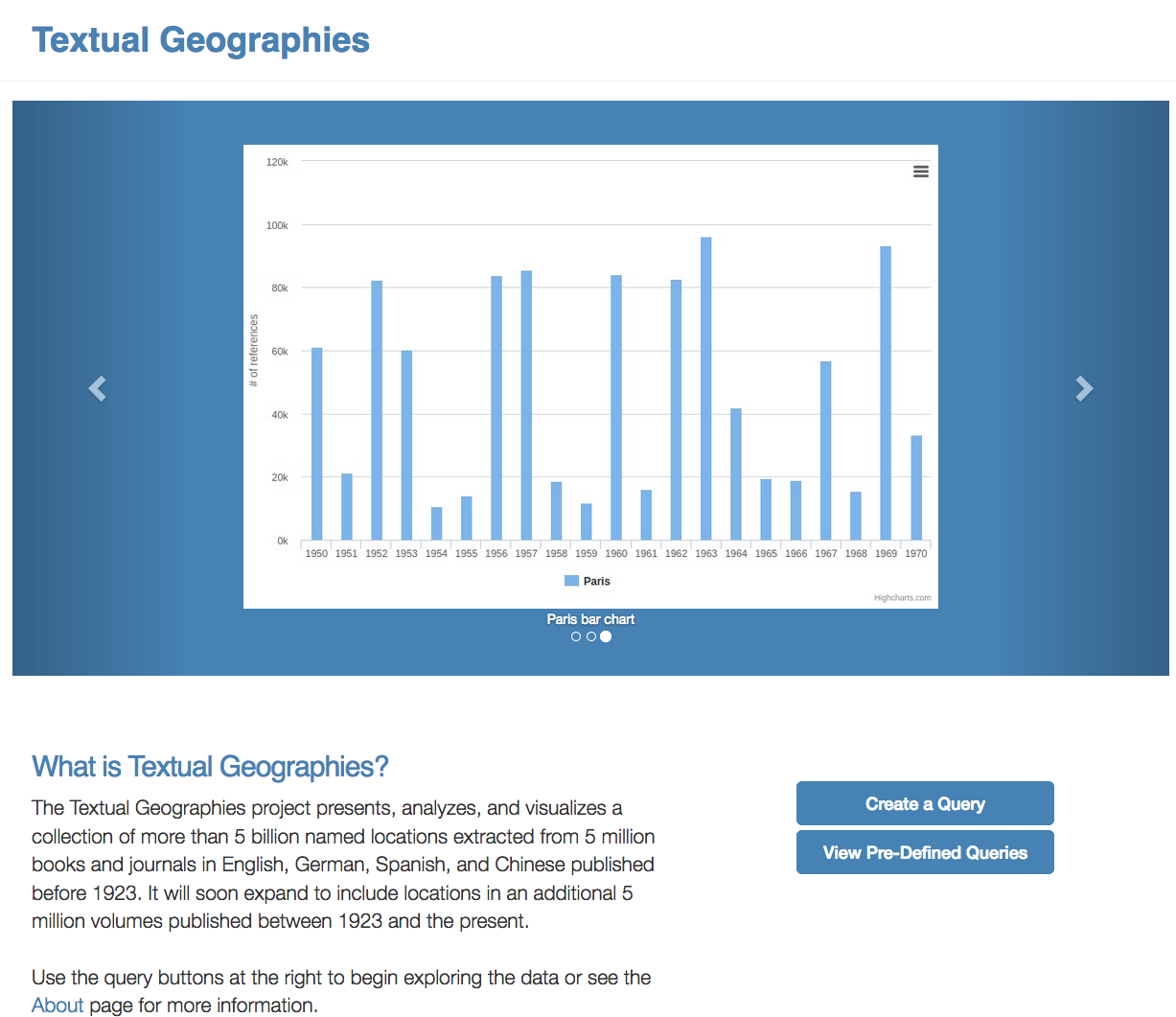
Textual Geographies
http://txtgeo.net/about
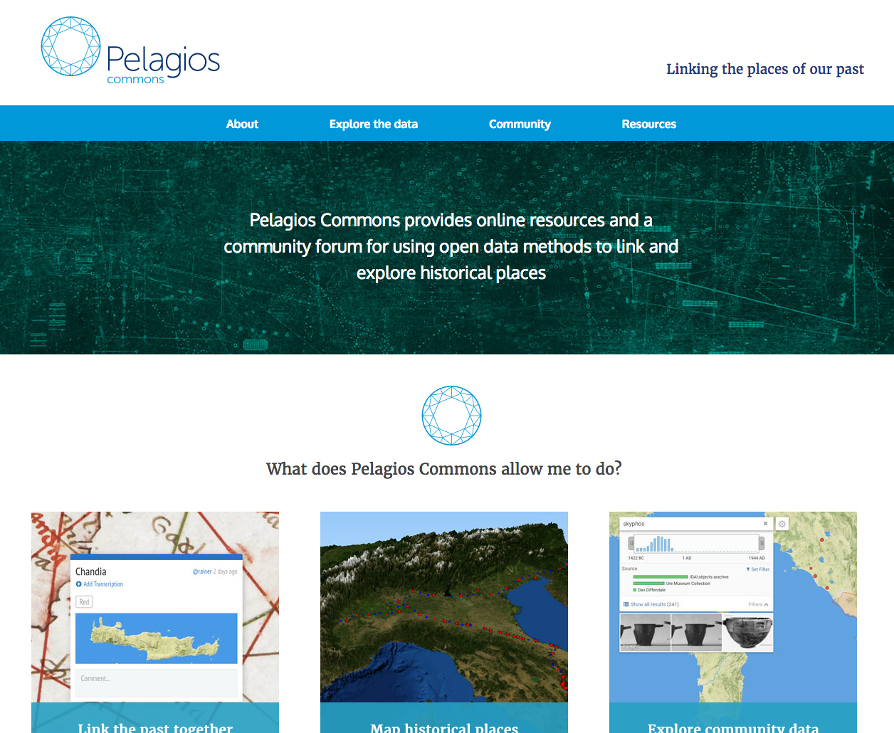
Pelagios
http://commons.pelagios.org/
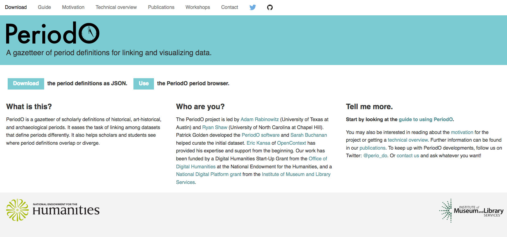
Perio.do
http://perio.do/
How to find open data
- What discipline/sector?
- Organizations, societies, nonprofits, agencies, universities, etc.
- Libraries!
Find your local data
- How easy/difficult was it?
- What datasets are available?
- In what format?
How to publish
- Select your (clean!) data
- Apply a license
- Make available for download
- As bulk download
- As API
- On your website
- In another repository
How to publish
- Make it discoverable
- Identify relevant communities
- Add to open data registries
- Add to your project website
What is it?
- Raster data = layers historical maps or photographs
- http://mapwarper.net/
- .TIFF or .JPG
- Vector data = layers points, lines, or polygons
- KML (Keyhole Markup Language)
- SVG (form of XML)
- Shapefiles (.shp, .shx, .dbf) mostly open standard by ESRI
- GeoJSON = shapes + geocoordinates
What is the anatomy of a web map?
- what made Google Maps different/better?
- what are the layers of a web map?
what do you need to do next?
- talk to me?
- find data?
- brainstorm question?
- look at other projects?
- read the assignment?
- ready for data assessment?
unit 3
- Use existing data set or create your own?
- Use new data or familiar data?
- Use historical map or not?
- What type of map?
- Storytelling
- Time/Movement
- Boundaries
- Dropped pins